01
Comprehensive Building Inspection
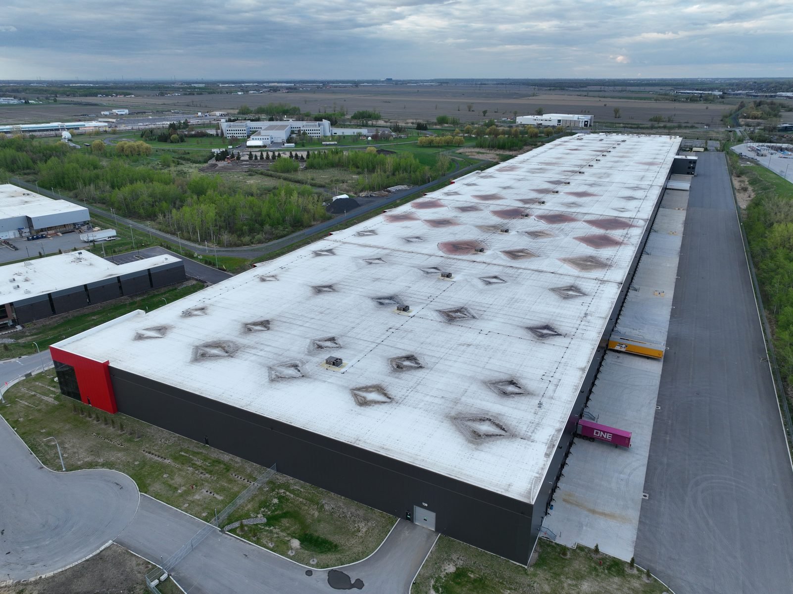
Condition review and professional reporting for commercial and residential buildings, including roofs, façades, and other accessible exterior elements.
Commercial and residential building inspections structured for condition review, defect documentation, and professional reporting.
Start with your inspection needOur approach is grounded in advanced research on UAV-based inspection data acquisition, with a focus on resolution control, coverage planning, and repeatable field execution. This research foundation is what defines OBLIQUE’s acquisition standard, replacing generic drone capture with a deliberate, engineering-oriented protocol for collecting data that is measurable and defensible.
Acquisition parameters are selected based on the required inspection, documentation, or analysis outcome.
Surfaces and assets are documented systematically with planned access, overlap, and acquisition logic.
Outputs are structured and verified to support CAD, GIS, BIM, reporting, and decision-making workflows.
Each service is scoped around data quality, coverage, spatial traceability, and final engineering deliverables.
Condition review and professional reporting for commercial and residential buildings, including roofs, façades, and other accessible exterior elements.
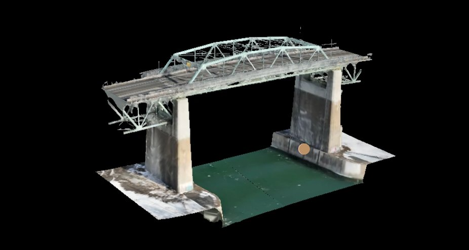
Bridge documentation and assessment support ranging from general condition evaluation to detailed structural review and engineering reporting.
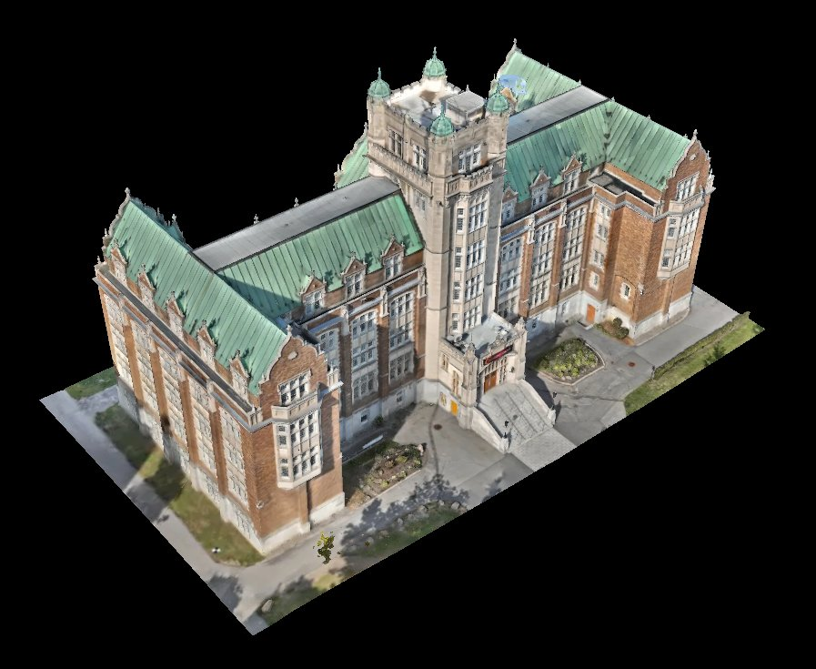
Detailed 3D models, point clouds, orthomosaics, and georeferenced records for buildings, bridges, and engineering documentation workflows.
Repeatable site capture and structured records to monitor progress, verify conditions, and maintain reliable project documentation over time.
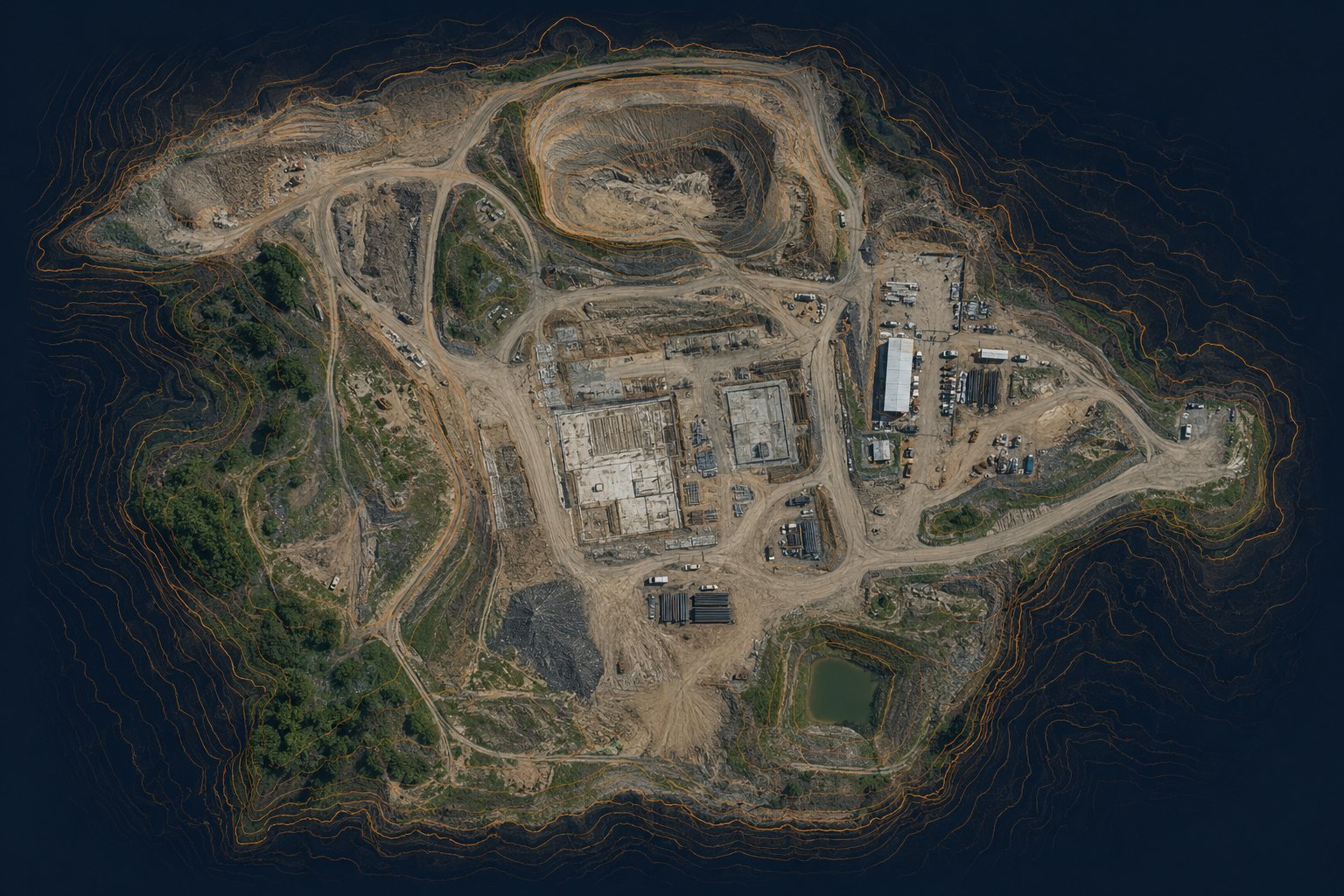
Photogrammetry-based quantity reporting for stockpiles, earthwork, materials, and site-volume tracking.
Precise surface elevation mapping and measurement-ready terrain outputs to support land development planning and project decisions.
We leverage advanced UAV, survey, and modeling technologies to deliver highly accurate, engineering-ready data.
Every tool is selected to support accuracy, traceability, and practical engineering use.
High-resolution images and videos collected according to project scope and inspection needs.
Survey support used when spatial accuracy and georeferencing matter.
Site data transformed into measurable 2D and 3D records.
Coverage, overlap, resolution, and repeatability considered before data collection.
These selected works are based on real field data, mapping outputs, and modeling work developed through research and applied technical practice.
OBLIQUE was founded to bring research-driven inspection methodology into professional practice. The company is shaped by PhD-level expertise in systematic UAV-based infrastructure inspection, with a clear focus on transforming aerial data collection from a simple capture task into a structured, technically informed service that delivers greater value to engineers, asset owners, and project teams.
Our work covers the full path from inspection planning and data collection to technical analysis and professional reporting. Whether the deliverable is engineering-level data, a digital model, or a comprehensive assessment report, it is developed with accuracy, responsibility, and engineering judgment.
Share a few details about your project and required deliverables. We will review the scope and respond with the most appropriate next step.